
Liberty Township Neighbor Block Sources
Public sources answer different block questions. The Delaware County Auditor GIS shows parcel geography and lets a researcher browse adjoining parcel polygons. The parcel card supplies owner, tax-mail, situs, legal-description, value, and transfer fields for the selected lot. Recorder PAX then confirms named parties on a particular documented transaction. This is a method for understanding property relationships around an address, not a list of the people inside nearby homes.
| Block Source | What It Shows About the Area | Access and Limit |
|---|---|---|
| GIS parcel polygons | Adjoining or nearby parcels, boundaries, and map context | Public map browse; a parcel boundary is not a household list. |
| Parcel card | Recorded owner, tax-mail and situs fields, legal and value data | Mail recipient can differ from owner or occupant. |
| Address points and street centerlines | Address geography and street alignment | Maps locations, not resident names. |
| Plat and survey links | Lot, block, subdivision, and recorded-document context | Confirm the legal placement; not every older item is online. |
| Recorder PAX | Documented parties related to a legal parcel | Use names, legal fields, and dates rather than broad neighbor guesses. |
| Township permit record | Address or parcel project details when kept | It is not a complete public code-case index. |
That division of sources matters for Liberty Township neighbors. A parcel may belong to an owner who receives tax correspondence elsewhere. A nearby address point only places an address on the map. A deed documents a named role on a dated instrument. Treat each as the limited evidence it is.
Map Liberty Township Neighbor Parcels
The documented county method is visual and parcel by parcel. Search the target by address, owner, or parcel number in the GIS. Retain the selected parcel number. Then pan or browse the map and click each adjoining polygon. Keep Parcel, Address Point, Building Outline, Street Centerline, and Subdivision layers visible when they help explain the layout. The public GIS has tools, but research did not verify a numeric buffer, radius, or select-by-location control, so map browsing and clicking are the reliable described method.
- Find the starting Liberty Township address and save its parcel number, situs, tax-mail field, legal description, and subdivision or lot.
- Click an adjacent parcel polygon and repeat the same card review, without converting a mailing field into a claim of occupancy.
- Open the Plat & Survey Finder where it can connect the parcel to surveys, plats, or recorded-document links.
- Use Recorder PAX for a named party, date, and legal description that match the selected parcel.
- Keep a record of source date and parcel identity before comparing a second nearby lot.
For a full named-street chain, the Liberty Township street directory follows address-keyed records farther along the street. The neighbors method stays focused on the immediate group of selected parcels.
Liberty Township Neighbor Parcel Fields
The Auditor's address search uses House Number and Street Name. Enter the street name without N, S, E, or W and without a suffix such as St, Dr, or Av. Owner Search accepts Last Name space First Name, and a last name alone is allowed. Parcel Number Search accepts a number without dashes or spaces and allows partial entries. These are separate entry points, which is useful when an address and a recorded name do not match cleanly.
A selected card can show parcel number, split date, subdivision or condo, map sheet, owner or owner 2, tax-mailing name and address, physical address, township, municipality, tax district, legal description, class, acreage, value fields, building characteristics, and transfer information. The most important comparison is situs against tax mailing. The first is the physical parcel location. The second is correspondence information, which may be elsewhere.
See the county's GIS data information in this Liberty Township neighbors image before relying on the map as a snapshot.
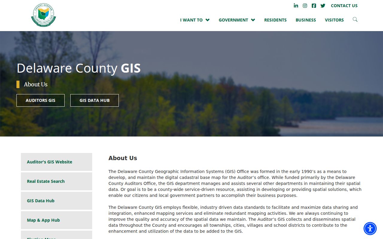
County GIS says parcel changes correspond to Recorder documents, parcel attributes are maintained in Auditor CAMA, data are maintained daily, and published monthly. Preserve the date checked because a map can change after a new document or parcel update.
Liberty Township Neighbor Plat Context
A plat is the recorded map that can connect a current address to its lot, block, subdivision, or other legal geography. The Plat & Survey Finder accepts Enter Address or Owner. Its address source uses ADDR1 with at least one character and up to 15 suggestions, while its owner source uses OWNER1 with at least one character and up to 10 suggestions. Selected results can expose linked surveys, subdivision plats, and recorded-document context.
Use the plat or legal description to check that a street address on the map is the same land named in a Recorder result. This is especially useful in newer subdivisions, where an instrument may be indexed by party and legal fields instead of a common street address. It also avoids assuming that every nearby building shares a single ownership or development history.
Note: A subdivision label supplies map context for Liberty Township neighbors, but it does not establish that a particular household belongs to an association or lives at a parcel.
Liberty Township Neighbor Permit Clues
The Township's iWorQ public permit search can supply an address or parcel-based development clue. Its Search by choices are Permit #, Parcel #, and Parcel Address. A result can use Parcel Address, Structure Type, Permit Type, Issued Date, and Applicant Name columns, with View and inspection choices. An applicant or owner named in a filing is a representation in that permit record, not a verified list of residents.
The official Liberty Township permit-status search is shown in this block-lookup image.
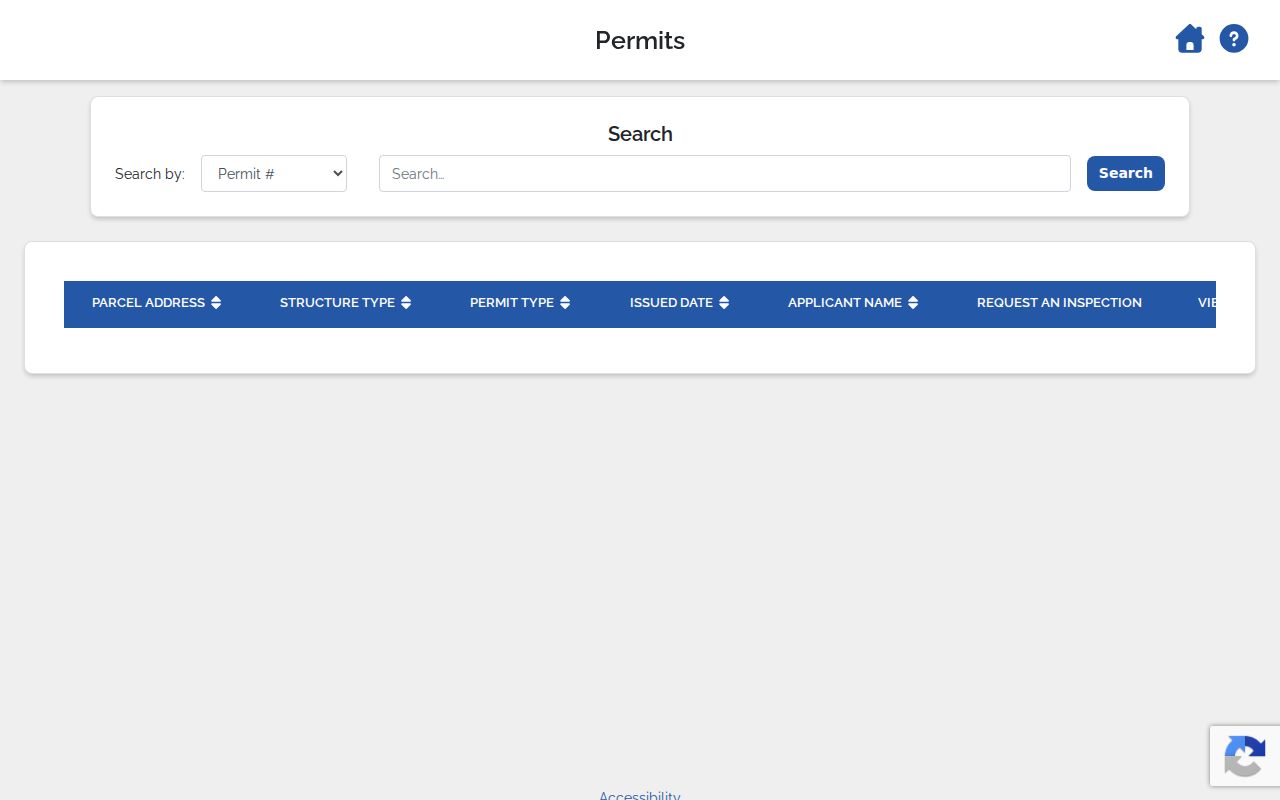
Permit records can help date a project, identify its parcel, and point to the right zoning file. They cannot prove who currently occupies a structure, and the public portal does not establish a complete historic permit or code-case index.
The Township zoning page describes new-home, patio, pool, fence, addition, sign, and certificate-of-compliance activities. If an older item does not surface online, request the address or parcel, project type, and date window from the Fiscal Office rather than making assumptions from a missing search result.
Liberty Township Neighbor Voter Limits
Ohio's individual voter lookup requires a first name, last name, and county. It is intended to check registration, precinct, and polling location. A Street Name selection can narrow a search in some cases, but the tool does not provide a browseable block roster. For a particular official report, contact the Delaware County Board of Elections, which lists Voter Lists & Reports, Street Lists & Reports, and Absentee Labels & Reports.
Ohio Rev. Code §3503.13 generally makes registration material public under the Public Records Act while withholding specified Social Security, driver or state ID, telephone, email, confidential-address, protected-worker, citizenship, and other protected information. Section 3503.23 describes registration-list material such as name, address, precinct, and stated primary-ballot-selection history. That is not ballot-choice information.
Liberty Township Neighbor Civic Contacts
Community organizations are a contact layer, not a resident directory. Township materials identify Bishopsgate HOA, Hamptons Condo HOA, Villas at Loch Lomond, Woods on Seldom Seen HOA, Quail Meadows HOA, Seldom Seen Acres HOA, and Libertydale HOA. Other local references identify Abbot Shire of Loch Lomond HOA, Calumet Farms HOA, and Mt. Air Residents Association. No Township-published membership directory, complete association map, block-watch roster, or congregation roster was located.
| Contact Lead | Documented Local Context |
|---|---|
| Bishopsgate HOA; Hamptons Condo HOA; Villas at Loch Lomond | Named by Township materials as community-organization leads. |
| Woods on Seldom Seen; Quail Meadows; Seldom Seen Acres; Libertydale | Named HOA leads, not proof of a parcel's membership or a public roster. |
| Abbot Shire of Loch Lomond; Calumet Farms; Mt. Air Residents Association | Identified by official or local-history references as association leads. |
| Township meeting hall | The 2024 annual report says one annual subdivision HOA meeting is offered without charge. |
An archived Township notice described work to update HOA contacts and a planned quarterly community newsletter. Use an organization only through its published contact channel, and never infer membership from a subdivision name, a parcel, or a map label.
Liberty Township Neighbor Records Request
The Township's public-records process is the fallback for a specific zoning, planning, trustee, or permit record that is not surfaced by the public search. A request should state the address or parcel number, record type, date window, and requested inspection or copy. The Township uses an RC100 form for records requests. This route does not obtain a Recorder deed, a court file, or a Board of Elections report held by a different custodian.
The Township RC100 records-request form shown below is the appropriate local fallback for Township-held material.
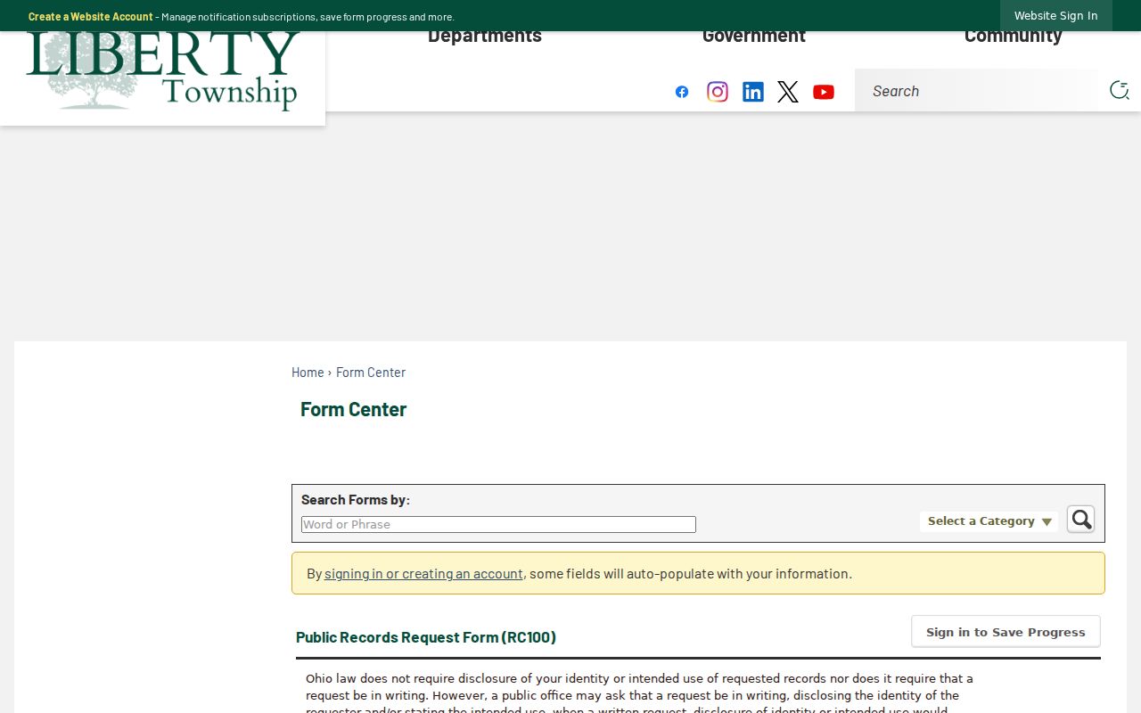
Ohio Rev. Code §149.43 permits a public-record request to the office that keeps the record. It does not require one elected office to create a broad neighbor list or supply material held by another custodian.
Liberty Township Neighbor Tool Comparison
Official records make their scope visible. A GIS map shows a parcel boundary and map context. A parcel card identifies the recorded owner or tax recipient, with the situs and mail fields clearly separated. PAX supplies a dated recorded instrument. Commercial neighbor-lookup services, by contrast, combine disparate sources and may be stale, mismatched, or unable to distinguish owners, non-owner occupants, and other household members.
| Official Parcel Trail | Commercial Neighbor Category |
|---|---|
| Shows the custodian, record type, legal parcel relationship, and date. | Can merge data with unclear source dates or relationship labels. |
| Lets a researcher check situs, tax-mail, deed, and map records separately. | May blur owner, tax recipient, non-owner occupant, and household-member categories. |
| Supports a correction request to the responsible office. | Does not replace the underlying public-record custodian. |
The local method is slower but more transparent: one selected parcel, one record type, then one independent confirmation where the question calls for it.
Privacy Limits for Liberty Township Neighbors
Public parcel records do not identify non-owner occupants, household members, utility customers, delivery recipients, or every adult who receives mail at an address. Ohio BMV personal information is restricted, voter material carries statutory exclusions, and Safe at Home participants can have confidential address treatment. Courts and health records have independent redaction rules. A missing address can be a lawful privacy protection, not an invitation to seek around it.
Ohio Rev. Code §149.45 addresses protected personal information and gives eligible people a written redaction route. The request identifies the record location, is itself nonpublic, and may result in action or an explanation of impracticability. Ohio Safe at Home is administered under §§111.42-.43 for qualifying survivors and household members. The responsible response is to contact the actual custodian about correction or protection options.
See the Township zoning and permit information used for this Liberty Township neighbors image.
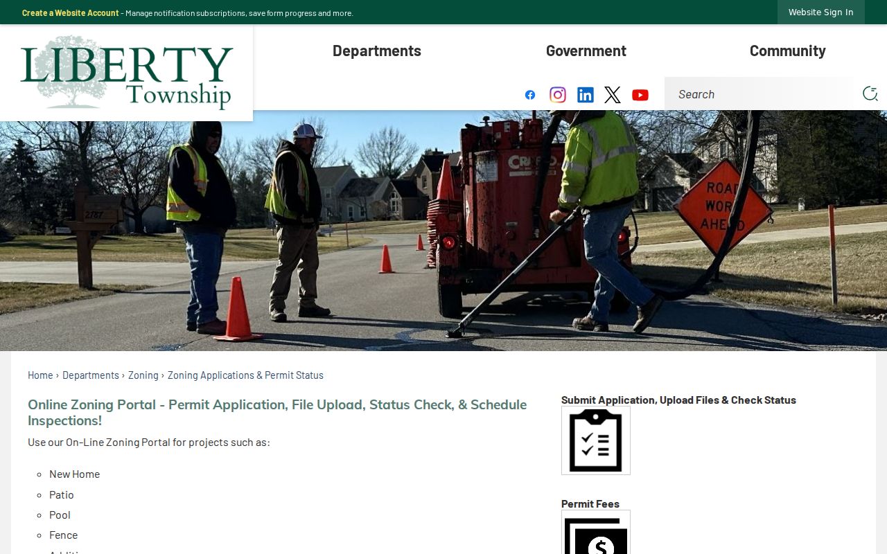
The Township source describes a narrow records function. It does not provide a public directory of people around a block.
Lawful use. Use Liberty Township neighbor records for personal, civic, or property research. Never use a public record to stalk, harass, threaten, or intimidate another person.