
Liberty Township ZIP Code Evidence
The verified information for this Liberty Township ZIP code directory is intentionally narrow. Research verified two local mailing points, not a complete list of every ZIP that may touch a Township parcel. The Township government office uses a Powell mailing address, and a listed Township voting location uses a Delaware mailing address. Neither fact means that the ZIP covers all of Liberty Township or that it marks a municipal line. For any actual address, USPS and county GIS are the validation route.
| ZIP | Verified local connection | Post office | Important limit |
|---|---|---|---|
| 43065 | Liberty Township office mailing address | Powell Post Office, 40 Grace Dr., Powell, OH 43065-9113 | Do not equate it with all Township land or Powell city limits. |
| 43015 | Listed Liberty Township voting-location mailing address | Delaware Post Office, 35 S. Liberty St., Delaware, OH 43015-2596 | Do not equate it with the City of Delaware boundary. |
No authoritative township-wide ZIP boundary table, comprehensive parcel coverage list, post-office route list, PO-box-only list, unique-ZIP list, realignment history, or per-ZIP resident total was located. These two rows are verified mailing evidence, not a claim that they exhaust all Township-associated ZIP codes.
Liberty Township ZIP Code Geography
Liberty Township is a township with overlapping local labels, not a city served by one fixed ZIP. County planning material also states that Liberty Township demographic data include the City of Powell. A mailing city, ZIP, planning statistic, and parcel jurisdiction can therefore describe different geographic scopes. A Liberty Township parcel may use Powell or Delaware in a mailing address without being a parcel inside either incorporated city.
USPS says ZIP Codes do not necessarily follow municipal boundaries. Its address-management updates can lag 30 to 60 days. USPS validates postal routing for an address or City/State search; it does not use the ZIP lookup to verify that a particular person or organization is at an address. That limit is central to a careful ZIP code directory: mail delivery and a resident claim are separate questions.
Postal check. Record the current USPS ZIP beside the parcel number and legal description, never in place of those county record keys.
Validate Liberty Township ZIP Codes
The USPS ZIP Code Lookup is the official starting point for a mailing ZIP. Use the exact address when it is known, or use its City/State option where appropriate. Then retain the returned ZIP as postal information only. The county Auditor and GIS tools are needed for the property's Township, Municipality, Parcel, and Annexation context.
This USPS ZIP Code Lookup reference shows the validation source.
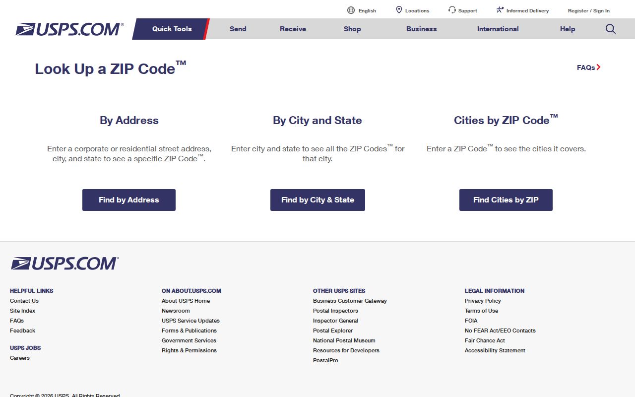
The USPS result helps confirm mail routing for a Liberty Township address, while the county parcel and map records answer the jurisdiction question.
Liberty Township ZIP Code Search Workflow
No verified local official portal makes ZIP a reliable all-parcel resident-search filter. That does not make a ZIP useless. It helps validate a mailing address and choose the next record key. The reliable workflow moves from postal routing to parcel geography, then to address, owner, or recorded-document research. It does not promise that a ZIP search will produce a Township-wide list of people or property.
- Validate the exact mailing address with the USPS lookup and save the ZIP that USPS returns.
- Search the Auditor Address Search with house number and street name. The county directs users to omit direction and street suffix.
- Open Delaware County Auditor GIS and inspect the Parcel, Township, Municipality, ZIP Code, Address Point, and Annexation layers for the selected parcel.
- Preserve the parcel number, situs address, tax-mail address, subdivision or lot, and legal description. Use the parcel or legal description for any next record search.
- When a property question narrows to a street, use the Liberty Township street directory workflow to check the map, deed index, and permitted address records.
The Ohio voter tool is not a ZIP search. Its individual query requires first name, last name, and county, and it may conditionally request a street name to narrow results. Treat it as individual registration and precinct confirmation, not as a way to assemble a ZIP roster.
Liberty Township ZIP Code Tool Inputs
Each official portal responds to a different identifier. The recorded facts below are the documented search inputs, not implied ZIP filters. The difference matters because Recorder PAX is party and legal-description centered, while county property tools are address and parcel centered. A ZIP can narrow a mailing question, but it should not replace the input each custodian actually supports.
| Portal | Documented search input | How it is used | ZIP limitation |
|---|---|---|---|
| USPS ZIP Code Lookup | Address or City/State | Returns postal routing information | Does not verify people or government jurisdiction. |
| Auditor Address Search | House Number and Street Name | Finds a property record; omit direction and suffix | No verified ZIP-wide mode documented. |
| Auditor Parcel Search | Parcel Number | No dashes or spaces; partial entries accepted | Uses a parcel key, not ZIP. |
| County GIS mobile viewer | Address, owner, parcel, facility, or subdivision | Maps the selected geography and layers | ZIP is a displayed layer, not a verified resident filter. |
| Recorder PAX | Party, date, document type, instrument, or legal parameters | Finds recorded instruments and title context | No ZIP-wide property search is documented. |
The Township permit system accepts parcel address or parcel number. Its address field can help locate a public project filing, but it is not evidence that every address in the same ZIP has comparable records.
Liberty Township ZIP Code Boundaries
ZIP boundaries and Township or city boundaries are different systems. The county's GIS layers solve the mismatch directly: Township, Municipality, ZIP Code, Address Point, Parcel, Street Centerline, Annexation, Tax District, School District, and Subdivision are available public layers. The parcel's Township and Municipality layers are stronger jurisdiction evidence than a mailing-city field. The ZIP layer remains useful for mail context, but it should not control a legal-boundary conclusion.
The local overlap is a practical research issue. A current Powell mailing ZIP, a parcel mapped in Liberty Township, and a historic record using a nearby place name can all describe parts of the same trail. Preserve each label with the source date. Do not silently replace an older designation with the current city or ZIP.
Liberty Township ZIP Code Property Terms
Three property terms keep a ZIP code directory from becoming a misleading address list. They appear separately in the Auditor parcel schema and control how an address should be matched to a Recorder instrument. The county record keeps physical location, tax correspondence, and legal placement distinct because they can point to different places or functions.
- ZIP versus ZIP+4
- A ZIP is a postal routing area; ZIP+4 adds a more specific delivery segment. Neither establishes a Township boundary.
- Situs address
- The physical location of a parcel.
- Tax mailing address
- The address where tax correspondence goes. It may be away from the parcel and is not proof of present occupancy.
- Legal description
- The recorded property geography, such as subdivision and lot or township, range, and section, used to match a parcel to deeds.
- Carrier route
- A postal delivery grouping, not a governmental boundary or a person directory.
For older work, a plat joins a current street address to a subdivision or lot. That bridge can be more dependable than a current ZIP label when a deed or atlas uses older geography.
Older Liberty Township ZIP Code Labels
Historic records may not use today's mailing labels at all. Middlebury, Hall's Corner, Unison, Hyattsville, and Powell are all relevant locality terms in Liberty Township research. Unison Post Office operated from 1849 through 1860 around SR 315 and Home Road. A nineteenth-century directory, atlas, newspaper, or cemetery record can use one of these names without identifying a modern USPS ZIP.
Use continuity evidence when an older address is uncertain: the same legal description, plat or lot, deed chain, map or atlas, transfer file, directory route, and census neighborhood. No official Township street-renumbering chronology was found, so do not invent a translation rule. The county's 1866 atlas, taxpayer directories, rural-route directory material, and Mendenhall property-transfer files are stronger dated companions for historical address work.
Note: A digitized portal's coverage date measures online access, not the date when the underlying property or locality first existed.
Honest Liberty Township ZIP Code Coverage
The useful answer is not a fabricated blanket map. The research confirms 43065 and 43015 as local mailing examples, and it confirms that neither one should be treated as full Township coverage. For every parcel, validate mail routing through USPS, then use the Auditor and GIS for jurisdiction, and use Recorder documents or plats for legal continuity. Preserve conflicts rather than forcing an address into one city label.
That three-way check also prevents a ZIP code directory from overstating what public records establish. A postal ZIP, owner field, tax-mail field, permit application, and voter result each have their own limited role. Use the custodian's current tool for the question it actually answers, and verify a significant record with the office holding it.