
Liberty Township Previous Residents by Era
Previous residents are not preserved in one address file. A current parcel card starts the trail, while deeds establish recorded transfers and local collections provide dated family clues. The era and purpose of each source matter. A deed may show a recorded party without showing who lived there. A directory can offer a household clue without proving a legal transfer. Keep the address, parcel number, legal description, date, and source placement together as the work moves backward.
| Source | Years it covers | Where held | What it shows |
|---|---|---|---|
| Auditor parcel roll | Current view; historic start not stated | Delaware County Auditor | Current owner, situs and tax-mail fields, legal description, transfer clue |
| Recorded deeds and plats | Online real estate 1990–present; earlier at office | Recorder PAX / Recorder exam room | Recorded parties, instrument details, and legal placement |
| County and taxpayer directories | Discrete runs, 1859–1922 | Ohio Memory and local-history collections | Historical name, route, and address clues by volume section |
| Federal census | Released decennial schedules under the 72-year rule | Historical census resources | Dated household evidence when the place can be matched |
| Probate estates | Jan. 20, 1950–present at Probate; earlier at Records Center | Delaware County Probate / Records Center | Estate administration and possible title transition |
| Township permit record | Public index start not stated | Liberty Township iWorQ / Fiscal Office | Project date, parcel reference, structure type, and listed applicant |
Start with the Auditor when the address is known. Start with the Recorder when a recorded owner and transfer date are known. For older family questions, use a dated directory or atlas as a lead, then bring it back to the parcel and legal description.
Starting a Liberty Township Past-Residents Trail
The Auditor’s address search is the practical opening for a Liberty Township address. It separates House Number from Street Name and directs users to omit a directional prefix and street suffix. The returned parcel record distinguishes physical situs address from tax-mailing address. A tax recipient, trustee, estate, or entity may receive correspondence elsewhere, so it is not evidence that a named person lived at the physical parcel.
Save the parcel number, legal description, subdivision or lot, current owner field, and recent transfer clue. Those details identify the same land when a street label, a rural route, or a mailing city changes. The parcel card may also show a split date, township, tax district, and sale details. Treat them as record fields to compare, not as proof of a household.
Liberty Township Deeds Before 1990
The Recorder’s published online real-estate coverage starts in 1990, with earlier real-estate documents researched at the Recorder’s Office. That is an access cutoff, not the start of ownership history. The office also cautions that not every post-1990 document is computerized. When a chain reaches the web boundary, preserve the last instrument number, parties, legal description, and recording date before using the Recorder exam room.
The Delaware County Records Center preserves and retrieves county material, but its guidance is to ask the originating office first about the right retrieval path.
The Records Center is the documented fallback for pre-1990 Recorder work as directed by the originating office, as well as earlier estate and marriage material outside Probate’s stated online-era custody.
Match Liberty Township Addresses to Land
A street address is useful for finding a parcel, but the legal description holds the older thread together. The Auditor GIS and Plat & Survey Finder connect a parcel to subdivision plats, surveys, and recorded-document links. Compare the lot, subdivision, township, or parcel elements on each deed before deciding it belongs to the address in question. A common street name or a matching surname is not enough.
Liberty’s historical labels add another check. Middlebury, Hall’s Corner, Unison, Hyattsville, Powell, and Delaware County can appear in older material for the same broad area. Unison Post Office operated from 1849 to 1860 near SR 315 and Home Road. A current Powell mailing label, a Liberty Township parcel, and an older rural locality can all be part of one trail when the legal land description supports the match.
Useful distinction. A situs address is the physical parcel location; a tax-mailing address is correspondence information and can be elsewhere.
Tracing Previous Residents Through Delaware Deeds
Recorded deeds establish the ownership side of a previous-resident search. Start from the Auditor’s current transfer clue. In PAX, search the current owner as the second party, or grantee, around that date, filter to deeds, and compare the legal fields to the parcel. Open the matching result and record the grantor, grantee, recording date, instrument number, and book or page when present. The seller then becomes the earlier grantee to search.
The Recorder’s PAX Recorded Document Search is the guest-accessible index and image route for the online portion of the chain.
Repeat the legal-description check at every link. A seller’s later recorded transaction can be useful context, but it does not establish where that person went next.
- Find the current parcel through the Auditor and copy its legal description and transfer clue.
- Search the current owner in PAX as second party near the transfer date and select a deed result.
- Compare the deed’s legal placement with the parcel, then record both parties and the instrument details.
- Search that grantor as an earlier grantee and repeat the comparison for the prior deed.
- When the chain reaches the online boundary, continue through the Recorder exam-room route rather than assuming the history stops.
- Grantor / grantee
- The grantor transfers an interest in the recorded instrument. The grantee receives that interest. Their labels must be read from the document, not assumed from a name alone.
- Chain of title
- The sequence of recorded transfers tied to the same legally described parcel. It is an ownership trail, not a list of every person who lived there.
- Legal description
- The recorded geography, such as lot, subdivision, township, range, section, or parcel elements, that connects older documents more reliably than a changing street label.
Liberty Township PAX Field Choices
PAX supports Name Search, Advanced/Legal Search, Instrument Search, Summary Search, and Detail Search. The name form uses Last Name or Organization and optional first-name fields with LIKE, CONTAINS, or IS comparison choices. Party choices are Any, First, and Second. Advanced searching includes date range, document categories, consideration range, and legal parameters. Use the legal fields to narrow a common name after the parcel work is complete.
| Last Name or Organization | Name entry; names beginning with a number use the documented NUMBER- convention. |
|---|---|
| Party | Any, First, or Second; examine the instrument before assigning a role. |
| Recorded Within | Optional start and end dates, with Today and Yesterday shortcuts. |
| Document category | Includes Deeds, Deed 1978–1989, Mortgages, Plats, Liens, Official Records, and other listed classes. |
| Legal parameters | Subdivision/Condo, Lot, Township, parcel without dashes, City, Section, Township, Range, Building, Unit, and comments. |
| Instrument placement | Instrument ID or Book Type with Book, Page, or Document ID. |
Guest images are informational rather than legal equivalents of filed or certified copies. For a certified record, use the Recorder’s official copy route.
Past Households in Liberty Township
Ownership is only one layer. County and taxpayer directories can add a dated name, route, home notation, or occupation clue, while released federal census schedules can show a household at the time of enumeration. No verified local reverse or criss-cross directory run was located, so use the county and township portions of the known volumes rather than promising an address-ordered list. The historical collections are described in the Liberty Township city directories.
Pair one directory date with the nearest available census and then return to the parcel. The directory’s printed page and a census place description may not use the same address style. An atlas, plat, route name, or legal description can provide the bridge. Preserve uncertainty when the clues do not align.
- Find the surname or old route in the nearest verified directory run and record its printed page and date.
- Check the adjacent available run for spelling changes, a move, or a missing listing.
- Compare the clue with the parcel’s legal description, a plat, or a historical locality name.
- Use the available released census as dated household evidence, not as a current-address source.
- Close a supported family trail with obituary, cemetery, or probate material.
Liberty Township Family Trail Endpoints
Probate estate files are particularly useful when a title chain reaches a death or estate transition. Delaware County Probate keeps estate records from January 20, 1950 to the present, with OnBase images beginning in 2003 and older media identified as microfiche, microfilm, or Records Center material. An estate file may identify an executor, heirs or beneficiaries, subject to the court’s access rules. It is a stronger endpoint than an unsupported assumption based on a name disappearing from a directory.
Delaware County Probate Record Search points to the Court’s online and terminal route for recent dockets and records.
Probate evidence should be paired with the relevant deed or parcel record when it is used to explain a property transition.
Liberty Township’s family cemetery resource identifies historic cemetery context and notes that the Township has no active cemetery.
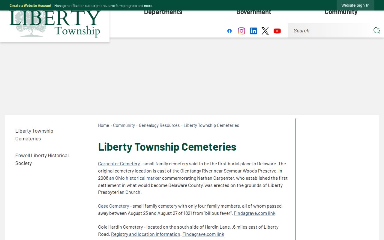
Cemetery inscriptions, the Historical Society’s obituary archive, and Delaware Gazette microfilm can provide a date and locality lead. Verify a conclusion with the original item and the appropriate property or estate record.
Liberty Township House-History Limits
No official Liberty Township house-history guide, local criss-cross directory run, Sanborn coverage, address-renumbering date, or complete street-grid history was located. That absence should shape the method. Do not force an old route or mailing label onto a current number. Use the consistent parcel number, legal description, plat or atlas, deed chain, directory route, and census neighborhood as separate pieces of continuity evidence.
Lawful personal use. Use prior-resident material for family history, personal house history, or estate research. Do not use a record to stalk, harass, or harm a living person.
Ohio protects some addresses and personal information through statutory redaction and Safe at Home procedures. An absent or altered address can reflect a lawful protection, not an error to work around.