
How Liberty Township Streets Become Parcel Trails
A Liberty Township street directory is most reliable when it follows the county's record keys in order. Begin with the Delaware County Auditor Address Search, then preserve the parcel number and legal description before moving to a map or deed. An owner name on the current parcel card is a property-record lead. It is not a statement that the named person occupies the physical address. The card keeps tax-mail and situs information separately for that reason.
- Enter the house number and street name in the Auditor form. Leave off a directional prefix and street suffix, as the county instructs.
- Save the parcel number, situs address, owner field, tax-mail field, subdivision or lot, legal description, and recent sale clue from the parcel card.
- Open the same parcel in Delaware County Auditor GIS. Compare the parcel boundary, address point, street centerline, and subdivision with the property card.
- Use the current owner as a second-party, or grantee, lead in Recorder PAX. Narrow the date around the transfer clue, select deeds, and match the legal description.
- For a documented name, use the official Ohio Voter Lookup to confirm registration and precinct. It may ask for a street name to narrow a result, but it is not a street roster.
Older work needs another check. The Recorder's published online real-estate coverage begins in 1990, so earlier deed-chain research belongs in the Recorder exam room. No verified Liberty Township criss-cross directory run was located. The dated township and county runs are handled in the Liberty Township city directories collection, not as a substitute for current address records.
Liberty Township Street Directory Search Fields
The county deliberately separates owner, address, and parcel searches. That makes it less likely that a broad name hit will be mistaken for a confirmed street result. The address form is the practical entry point for a Liberty Township street directory. The parcel form helps when a number has already been found. The Plat & Survey Finder comes next because it can bridge an everyday address to the lot and subdivision wording used in recorded documents.
| County tool | Documented field | Format | Street-search role |
|---|---|---|---|
| Auditor Owner Search | Owner Name | Last name, space, first name; last name alone accepted | Checks parcels after an owner is documented. |
| Auditor Address Search | House Number | Physical house or property number | Begins the parcel trail. |
| Auditor Address Search | Street Name | Omit direction and suffix | Pairs with the house number. |
| Auditor Parcel Search | Parcel Number | No dashes or spaces; partial entry accepted | Returns to the property record. |
| Plat & Survey Finder | Enter Address or Owner | Autocomplete; address source is ADDR1 | Connects a selected parcel with plats and surveys. |
The form fields are specific to county tools, not a general street-name database. A result still needs a visual and legal-description check when a street name appears near more than one subdivision. Note: A partial parcel search checks an identifier, but the final card should match the physical address and legal description.
The Auditor Address Search appears in this captured search reference.
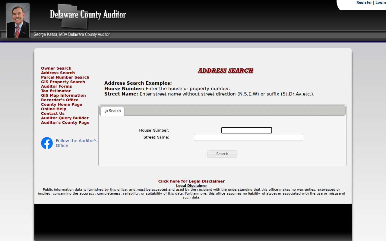
Enter the physical house number and normalized street name first, then retain the parcel number from the matching Liberty Township result.
Map a Liberty Township Street Segment
GIS supplies the spatial view the Auditor form cannot. Its public layers include Parcel, Address Point, Street Centerline, Building Outline, Subdivision, Township, Municipality, School District, Tax District, ZIP Code, and Annexation. For a street-by-street review, leave parcel, address-point, street-centerline, and subdivision layers visible. Click the target parcel, inspect the card, then select the next parcel polygon along the segment. This maps public parcels, not household membership.
The county GIS real-estate and mapping links point to the county's mapping routes. The Plat & Survey Finder offers address or owner autocomplete and shows selected-parcel links to surveys, subdivision plats, and recorded documents.
This county GIS reference shows the mapping starting point.
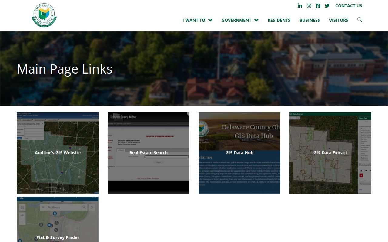
Use the map context to compare a Liberty Township street address with its parcel and subdivision before treating a map link as a deed match.
Liberty Township Address-to-Plat Link
A plat is a recorded map that divides land into lots, blocks, streets, or subdivisions. It can explain why an older deed does not contain the modern street wording. After selecting a parcel in the Plat & Survey Finder, compare its subdivision, lot-like fields, map sheet, and legal description with the Recorder result. Survey, plat, and document links are spatial associations, so they still need to be checked against the selected parcel's legal description.
- Parcel
- A county property unit with its own identification number and assessment record.
- Situs address
- The physical location of the parcel, which can differ from the tax-correspondence address.
- Plat
- A recorded land map that can tie a street address to a subdivision, lot, or other legal placement.
- Tax mailing address
- The place where tax bills are sent. It can name an owner, trustee, estate, or entity away from the parcel.
For a disputed location, keep the parcel number, legal description, and recorded plat together. County GIS data are maintained daily and published monthly. The county says parcel changes arise from Recorder documents while parcel attributes are maintained in Auditor CAMA data.
PAX Records Along Liberty Township Streets
Recorder PAX is primarily a party, date, document-type, instrument, and legal-description index. It is not a complete literal street search. Its Advanced/Legal options include subdivision or condo, lot, township, parcel number without dashes, city, section, township/range, building, unit, and comments. Use those legal keys after the Auditor result has established the parcel instead of relying only on a street word in an instrument.
Search the current owner as second party around the parcel card's sale clue. Confirm the deed's subdivision, lot, township, or other legal description. Record the grantor, grantee, recording date, and instrument number. Then search the prior grantor as an earlier grantee and repeat the legal match. A deed can be recorded after a transfer, so preserve both the sale clue and recording date.
The Recorder says online real-estate documents run from 1990 to the present, with earlier work at 145 N. Union St., Delaware. Not every post-1990 document is computerized. PAX images are informational, not legal equivalents of a filed or certified copy. Photocopies cost $2 per page; a certified copy costs $2 per page plus $2 certification.
The Auditor parcel-number search is shown in this captured view.
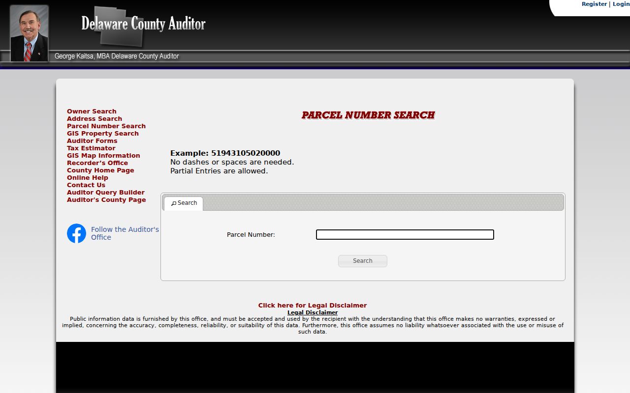
A parcel-number result supplies the stable property key needed before opening deed images or comparing instruments along a Liberty Township street.
Liberty Township Street Records by Address
Address-keyed sources each answer a narrower question. The Auditor is the current parcel view. The Treasurer adds a parcel-related tax view. GIS locates the parcel. The Recorder supplies title instruments. Township zoning material can identify a project or applicant in a particular filing. Historical directories can offer dated name-and-place clues, but no verified continuous Liberty Township street run supports treating them as a current list.
| Address record | Custodian | What it can show | Access route |
|---|---|---|---|
| Parcel roll | Delaware County Auditor | Owner, tax-mail and situs fields, legal description, values, and sale clue | Owner, address, or parcel forms and GIS |
| Tax record | County Treasurer | Parcel-related tax and payment view | Parcel, last-name, or address search |
| Deeds and plats | County Recorder | Parties, instrument, recording date, and legal placement | PAX for online coverage; office for earlier work |
| GIS and plat finder | County Auditor GIS | Parcel geography, addresses, streets, plats, surveys, and layers | Public GIS and Plat & Survey Finder |
| Township permit | Liberty Township | Project, parcel address or number, permit type, issue date, and listed applicant | iWorQ search or Fiscal Office request |
| Probate estate | Probate Court | Estate administration and possible title-transition context | Probate Record Search or directed Records Center retrieval |
The Records Center at 2079 U.S. 23 N. preserves and retrieves county records when the originating office directs a request there, including pre-1990 Recorder material and some older Probate records.
Liberty Township Permit Clues by Address
The Township iWorQ permit search accepts Permit #, Parcel #, or Parcel Address. Results can show Parcel Address, Structure Type, Permit Type, Issued Date, and Applicant Name, with View and inspection functions. It helps place a visible project in time or locate public uploads related to a parcel. A result is not a full code-history search, and an application name represents the filing, not a complete list of people at the address.
Public zoning material includes new home, patio, pool, fence, addition, signs, and certificate-of-compliance activity. For an older or nonsurfaced file, request it from the Fiscal Office with the address or parcel, record type, date window, and desired copy or inspection route. The Township applies the Ohio Public Records Act, Ohio Rev. Code §149.43, while each office remains the custodian of its own records.
The Delaware County Auditor GIS is shown in this parcel-map reference.
Pair a permit clue with the parcel number and recorded legal description before associating it with a Liberty Township street property. Note: Permanent certificates, permits, subdivision plans, maps, and zoning amendments have different retention treatment from routine applications.
Liberty Township Street Voter Confirmation
Voter information is a separate confirmation path after a name has been documented through a parcel or family-history record. The Secretary of State's individual lookup requires First Name, Last Name, and County, with Delaware selected for Liberty Township. A narrow-result step can request Street Name. Its stated purpose is checking registration and finding a precinct or polling location, so it should not be described as a street-by-street address directory.
Ohio Voter Data has a different, download-oriented function. It uses an Election selection, Start Date, End Date, County List, and download actions; custom requests ask for first name, last name, and email. Delaware County Board of Elections links Voter Lists & Reports and Street Lists & Reports, but the stable local request form did not expose exact fields, price, or delivery mechanics. Ask the Board for the precise current report rather than assuming every request returns the same information.
Public voter records have statutory exclusions. Do not use an individual lookup screen to infer a complete Liberty Township street list, and do not treat a non-match as proof that a person never lived at an address.
Liberty Township Street and Postal Labels
A Liberty Township address can carry a Powell or Delaware mailing label without changing the parcel's government jurisdiction. The Township office uses a Powell 43065 mailing address, while a listed Township voting location uses Delaware 43015. USPS validates a mailing ZIP for a specific address. Township, Municipality, Annexation, Parcel, Address Point, and ZIP Code GIS layers establish governmental geography. Keep those roles separate when comparing a deed, parcel card, map, or mail label.
Historic research adds another layer. Middlebury, Hall's Corner, Unison, Hyattsville, and Powell can occur in trails connected to today's Liberty Township. Unison Post Office operated from 1849 to 1860 near SR 315 and Home Road. Test an older label through the legal description, plat, map, deed chain, and record date rather than forcing it into a current mailing label.
Liberty Township Street Directory Limits
A street directory built from public address records can show parcel ownership and documented property activity. It cannot establish every current household member. The parcel roll does not identify renters, other adults receiving mail, or utility customers. Ohio BMV data are restricted by Ohio Rev. Code §4501.27. Safe at Home participants, qualifying protected public-service-worker addresses, and protected voter fields are withheld. The statewide voter tool confirms individual registration, precinct, and polling location, not a public address-browsing list.
Lawful use. Liberty Township address records are for personal, lawful research and property questions. Do not use them to stalk, harass, intimidate, or harm anyone; protect confidential addresses and verify a record with its custodian.
Keep ownership, tax correspondence, a permit application, and a voter result separate. A careful Liberty Township street directory respects that boundary instead of turning public records into a claim about a private household.